NWS: 50 mph gusts, nickel hail cross county from Laingsburg to 11 a.m.
The National Weather Service in Detroit/Pontiac says radar tracked a strong thunderstorm near Laingsburg at 9:59 a.m. Thursday, moving east at 35 mph toward Perry, Corunna, Owosso, Durand and Byron.
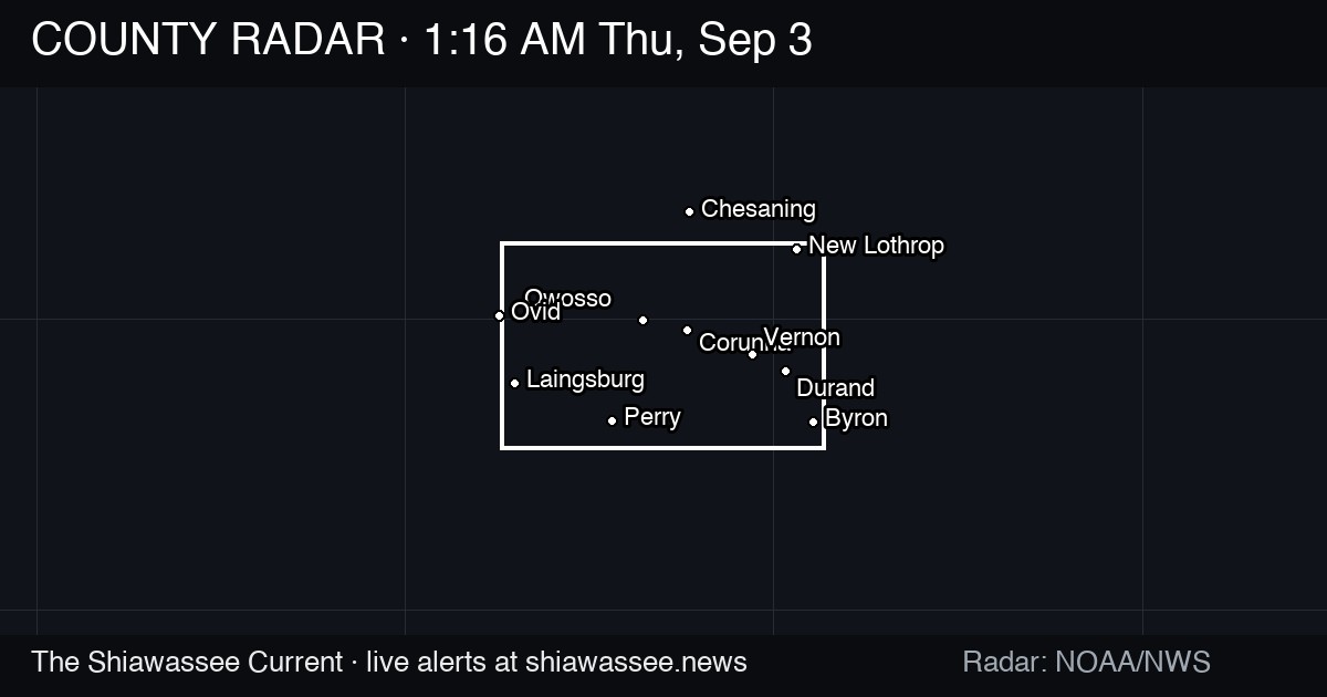
A strong thunderstorm was moving east across Shiawassee County on Thursday morning, and the National Weather Service says it can put down wind gusts to 50 mph and nickel-size hail along the way.
The weather service office in Detroit/Pontiac issued a special weather statement at 9:59 a.m. Thursday, saying Doppler radar was tracking the storm near Laingsburg and moving it east at 35 mph. The statement runs through 11 a.m. and covers Shiawassee, southwestern Genesee and northern Livingston counties.
The list of places in the storm's path reads like a drive across the county: Laingsburg, Perry, Morrice, Corunna, Owosso, Durand, Byron, Bancroft and Lennon, along with Flint, Fenton, Howell and Swartz Creek outside our lines.
The hazard, as the weather service described it, is wind and hail rather than a tornado: gusts up to 50 mph and hail measured at 0.88 inches. The agency said gusty winds could knock down tree limbs and blow around unsecured objects, and that minor damage to outdoor objects is possible. The alert was rated moderate severity, with the storm observed on radar.
The weather service also warned that torrential rainfall is falling with the storm and may lead to localized flooding. Its instruction to residents was direct: seek shelter inside a building if you are outdoors, and do not drive through flooded roadways.
A special weather statement is a step below a severe thunderstorm warning. The weather service uses it for storms strong enough to cause problems but short of severe criteria, and it does not trigger the emergency alert system.
What happens next: the statement expires at 11 a.m. Thursday unless the weather service extends it or upgrades to a warning. As of the 9:59 a.m. issuance, no damage, power outages or road closures in Shiawassee County had been reported in the alert. The Current will check with Consumers Energy and the Shiawassee County Road Commission on any downed limbs or flooded roads once the storm clears the county line.
The Morning Current. Free, daily, by 6 AM.
Every council vote, police report, and school decision in Shiawassee County — before your first coffee.